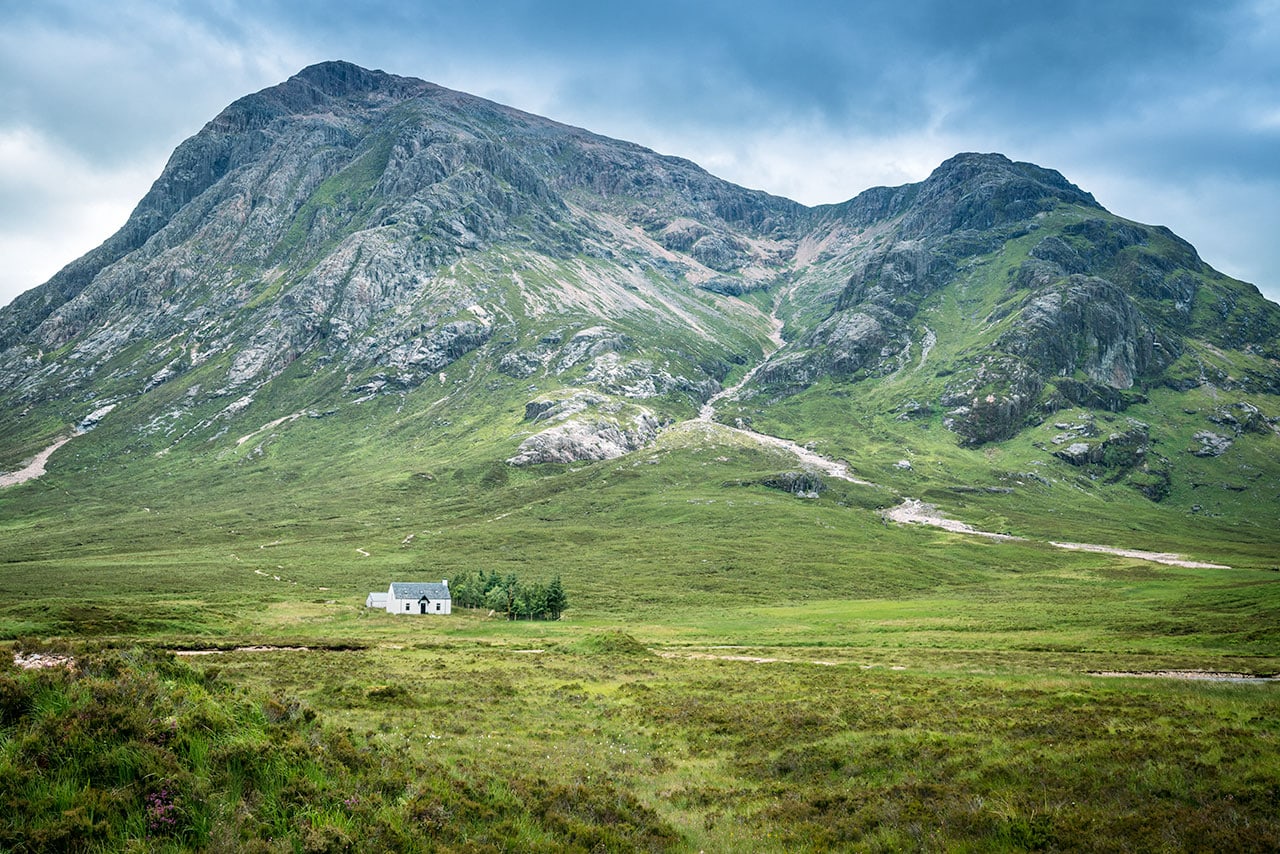
I’m working on a terrain generator and I now need to color the terrain to be rock, grass, or snow. Ignoring snow for now, at first I thought I’d make flatter areas grass and make steeper areas rock. But pictures like this can’t be explained only with elevation and slope. 
They still play a role, but there are areas with the same slope next to each other where one is covered with grass and the other is covered with rock. What other forces or processes are affecting grass placement that I need to consider when coloring my terrain? Do I need to think about wind or water erosion? Maybe the type of rock? I’m only interested in grass placement on mountains like the picture has, not how it might change with different climates.
I’m guessing my question is really more about soil placement than grass since grass will mostly be where dirt is, so you can choose to answer the question either way.
Bonus for what causes those areas with dirt and no grass.
Thanks.
Edit:
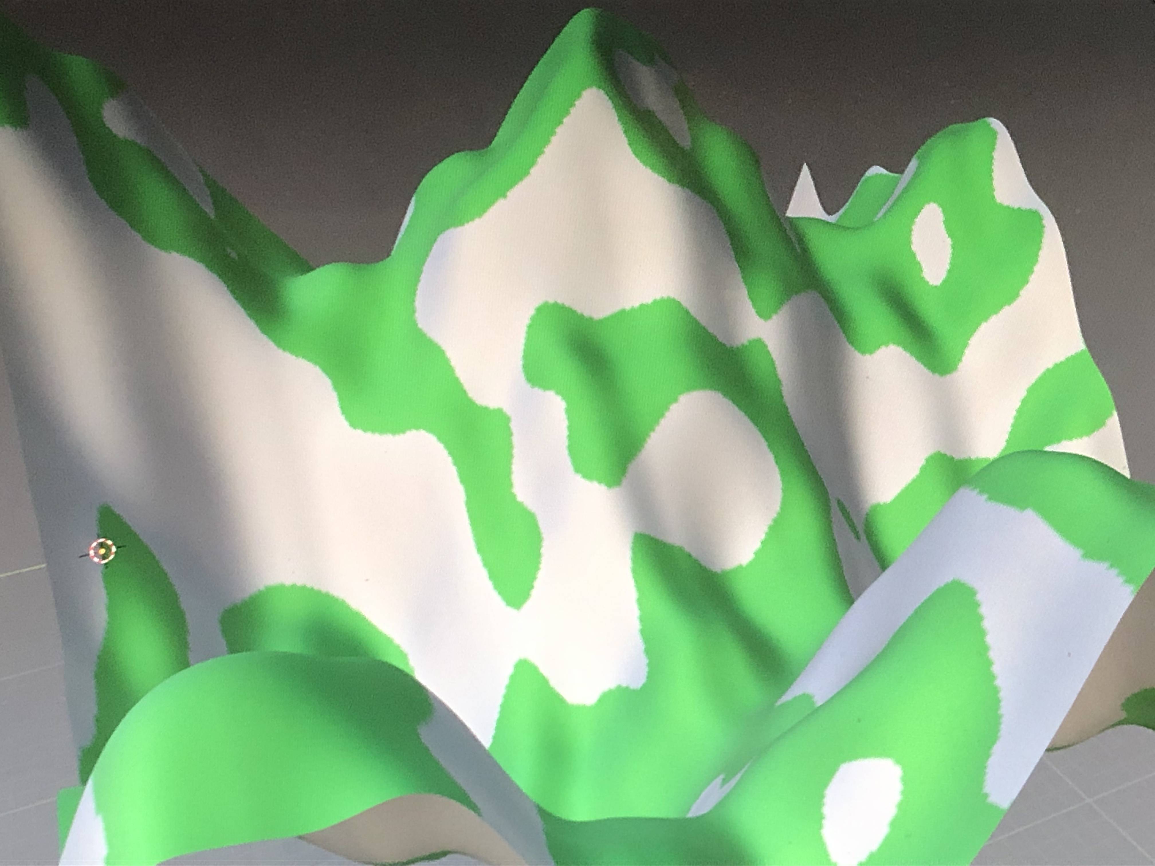
I changed my code to color the terrain based on slope and “exposure” which I measured by height above or below the surrounding average height. Sorry that the results are pretty simple and not very neat, but the grass placement looks a lot more realistic than before thanks to considering how vulnerable parts of the terrain are to high winds.
