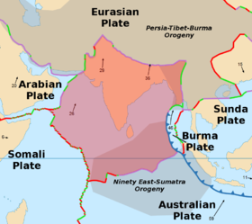
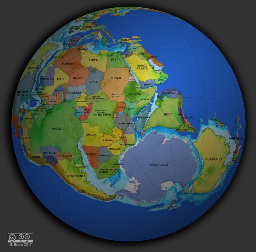
So on a lot of maps of tectonic plates, it appears that India and Australia share a tectonic plate (hence the Indo-Australian plate). But in maps of Pangaea, India and Australia appear to have once shared a border. Since continents only move because the plates they sit on move, how is it that India and Australia have changed relative positions if they share a plate?
I've looked around a lot online and I can't seem to find a specific reason, and my science teachers weren't much help either. Supposedly they once sat on separate plates, and diverged from each other, with a mid ocean ridge spewing out sea floor between them. If this is the case, how did they fuse together? Also, I believe that Australia is currently moving towards India as well. Do convection currents change direction?

