1
$\begingroup$

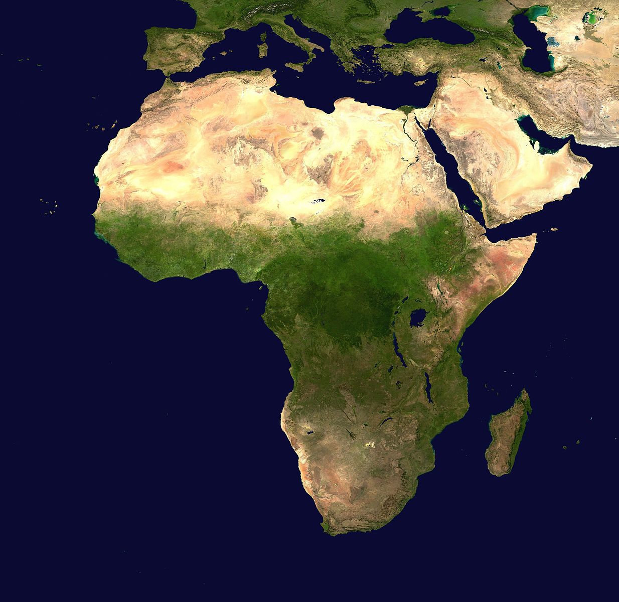
I found this one of Africa:

enter image description here

That one is nice because it's > 3000x3000px which is large enough. I have looked around a bit for ones of these countries but haven't found anything that is large/high quality, free/public domain, and free of clouds/weather like the Africa image:

  • United States
  • Russia
  • China
  • India
  • Mexico/Central America
  • South America
  • Canada
  • Greenland/Iceland/Arctic
  • Europe
  • Australia
  • Southeast Asia
  • Japan

I would like to find these broad areas as images on a high quality satellite image similar to this Africa one.
$\endgroup$
2
  • $\begingroup$ You might search Open Data. $\endgroup$
    – mkennedy
    Commented Jun 3, 2019 at 18:02
  • $\begingroup$ visibleearth.nasa.gov/view_cat.php?categoryID=1484 offers global images at 43200 x 21600 resolution (about 1km^2 per pixel), If you need higher resolution, try earthexplorer.usgs.gov $\endgroup$
    – user967
    Commented Jun 4, 2019 at 22:03

1 Answer 1

1
$\begingroup$

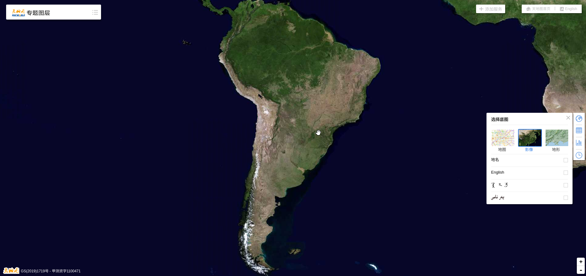
You can find satellite images free of clouds at chinesse version of google maps.

Under the rigth toolbar, top icon, you need to uncheck the first layer with the geographical names and click on the satellite image button, and you can place the view to see maps as this one of Southamerica.

enter image description here

$\endgroup$
3
  • $\begingroup$ Wondering if these are public domain licensed. $\endgroup$ Commented Jun 4, 2019 at 17:23
  • $\begingroup$ Not sure. I do not find anything else at wikipedia or other english sites than it is a free webservice, and I am not familiarized with rigth laws. I guess you can use the images quoting the source, but I cannot answer you that 100% $\endgroup$
    – user12525
    Commented Jun 4, 2019 at 17:37
  • 1
    $\begingroup$ Translating bzdt.ch.mnr.gov.cn it can be read: "The standard map is compiled according to the national border painting standards of China and the world. It can be used for news propaganda drawings, book and newspaper illustrations, advertisement display background maps, handicraft design base maps, etc. It can also be used as a reference base map for the preparation of public version maps. The public can browse and download the standard map for free, and the drawing number is required when using the standard map directly." $\endgroup$
    – user12525
    Commented Jun 4, 2019 at 17:40

Your Answer

By clicking “Post Your Answer”, you agree to our terms of service and acknowledge you have read our privacy policy.

Not the answer you're looking for? Browse other questions tagged or ask your own question.