I need data regarding water temperature of Mediterranean Sea according to changes in depth. I couldn't find these data in the Copernicus Marine website, so I'd like to know if you know of any database where I can find this type of data, and if you think it's even possible to obtain them.
2 Answers
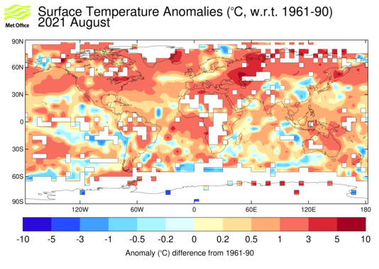
The Met Office Hadley Centre provides global quality controlled ocean temperature and salinity profiles and monthly long-term objectively analyzed global fields with a one degree spatial resolution (Good et al., 2013). The most recent EN4 dataset (https://www.metoffice.gov.uk/hadobs/en4/) includes objectively analyzed fields formed from profile data with uncertainty estimates. The available data extend from the year 1900 to the present and there are separate files for each month. Good et al. (2013) used a simple analysis correction (Ingleby & Huddleston, 2007) optimal interpolation methodology to analyze global historical observations that had been methodically quality controlled. The analysis fields are constructed by combining a background field (the analysis field of the previous month) with the quality controlled profiles from the month being analyzed.
 Source: Met Office Hadley Centre
Alternatively, you can get the data from NOAA World Ocean Atlas using the WOA select tool. It provides fields for all depths and several fields. The methodology is slightly different but quite similar (Boyer et al., 2018; Locarnini et al, 2019).
Ref:
- Boyer, Tim P.; Garcia, Hernan E.; Locarnini, Ricardo A.; Zweng, Melissa M.; Mishonov, Alexey V.; Reagan, James R.; Weathers, Katharine A.; Baranova, Olga K.; Seidov, Dan; Smolyar, Igor V. (2018). World Ocean Atlas 2018.
- Good, S.A.; Martin, M.J.; Rayner, N.A. EN4: Quality controlled ocean temperature and salinity profiles and monthly objective analyses with uncertainty estimates. J. Geophys. Res. Oceans 2013, 118, 6704–6716.
- Ingleby, B.; Huddleston, M. Quality control of ocean temperature and salinity profiles—Historical and real-time data. J. Mar. Syst. 2007, 65, 158–175.
- Locarnini, R.A., A.V. Mishonov, O.K. Baranova, T.P. Boyer, M.M. Zweng, H.E. Garcia, J.R. Reagan, D. Seidov, K.W. Weathers, C.R. Paver, and I.V. Smolyar (2019). World Ocean Atlas 2018, Volume 1: Temperature. A. Mishonov, Technical Editor. NOAA Atlas NESDIS 81, 52pp.
Arkaia's answer sounds quite detailed. However depending on what is your required level of precision and goals (climatology ? hydrological forecast at depth ?) there are some valuable extra information for in-depth data.
Data previously mentioned are mostly climatologies, smoothing fine scales variability and it should be noticed that 1 degree resolution is extremely coarse for the Mediterranean sea. There are indeed in-situ profiles available on CMEMS, on both delayed-time and near-real-time in the CORA datasets (Coriolis Reanalysis) : https://doi.org/10.48670/moi-00039 and https://doi.org/10.48670/moi-00044
The easiest access is likely by FTP (with tools like Filezilla) :
- ftp://my.cmems-du.eu/Core/INSITU_GLO_TS_REP_OBSERVATIONS_013_001_b/CORIOLIS-GLOBAL-CORA-OBS
- ftp://nrt.cmems-du.eu/Core/INSITU_MED_NRT_OBSERVATIONS_013_035/med_multiparameter_nrt
These datasets gather all available data stacked in 1 netcdf file per day and data source, fortunately there is a specific subset for the Med sea.
You can distinguish the data sources by the code names : if there is 'PF' in the file name, it is an in-situ profile. You are most likely interested in XBT, CTD, Argo floats or glider data (corresponding codes are respectively 'XB','CT','PF','GL')
FYI, on the Med sea, filtering out "bad" profiles, you can reach about 125 000 vertical profiles from 2000 to 2022, with of course some areas being a lot under-sampled.
That being said, I totally agree the CMEMS catalog is far from being user-friendly