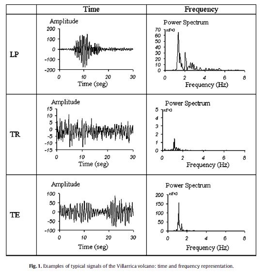
I need it in this format.

I went to USGS and IRIS websites but couldn't understand the downloading procedure
I need it in this format.

I went to USGS and IRIS websites but couldn't understand the downloading procedure
The easiest way to look at earthquake data that you would like in a data set you can work on (filter,plot,process,etc.) is three steps.
If this is too complicated, you can use the web-based part of iris to look at specific earthquakes at specific stations. But I don't think you get to interact with the data this way.