I have two datasets, each with two differing resolutions. The first dataset is a coarser resolution data set that has 0.5 x 0.625 degree resolution and contains values of MERRA-2 boundary layer thickness. The second, finer resolution dataset has 0.1 x 0.1 degree resolution and contains values of IMERG rainfall rate. I want to find the boundary layer thickness at every point where the rainfall rate exceeds 10 mm/hr. Since the MERRA-2 boundary layer thickness dataset is coarser, I figured that I could create a grid from the latitude and longitude values in the MERRA-2 dataset and check if the IMERG data points lie within any of the MERRA-2 grid boxes. I'm having trouble figuring out where to start with this, and any help is greatly appreciated.
Here is the formatting of the latitude and longitude for each dataset:
MERRA-2 Latitude: [[1.3500000e+01  1.3500000e+01  1.3500000e+01  1.3500000e+01]
MERRA-2 Longitude: [[-51.875 -51.25  -50.625 -50.    -49.375 -48.75  -48.125 -47.5   -46.875]
IMERG Latitude: [-0.05  0.05  0.15  0.25  0.35  0.45  0.55  0.65  0.75  0.85  0.95  1.05]
IMERG Longitude: [-49.95 -49.85 -49.75 -49.65 -49.55 -49.45 -49.35 -49.25 -49.15 -49.05]
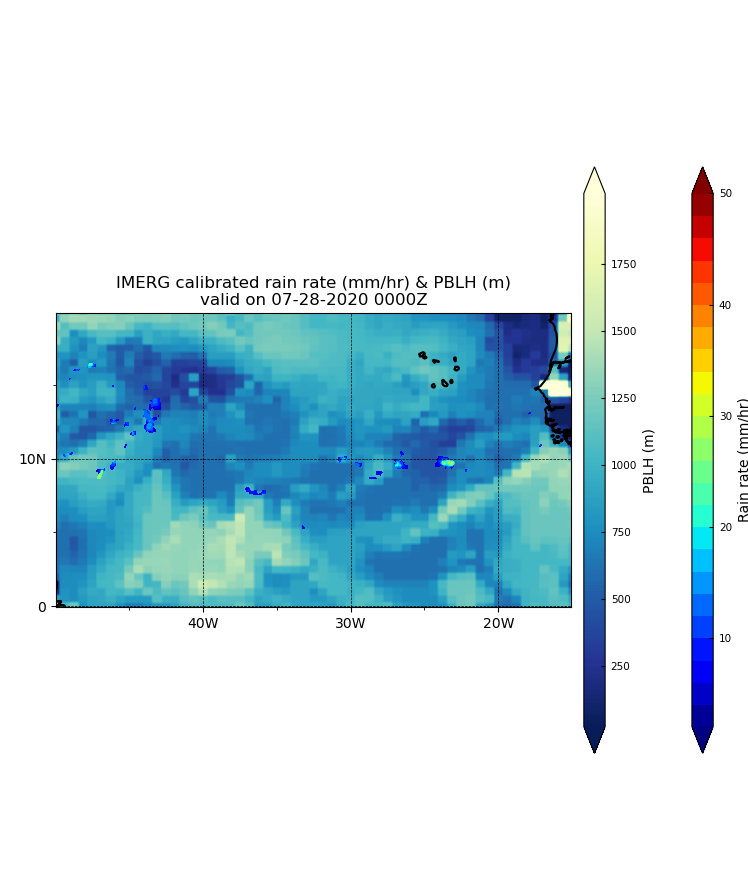
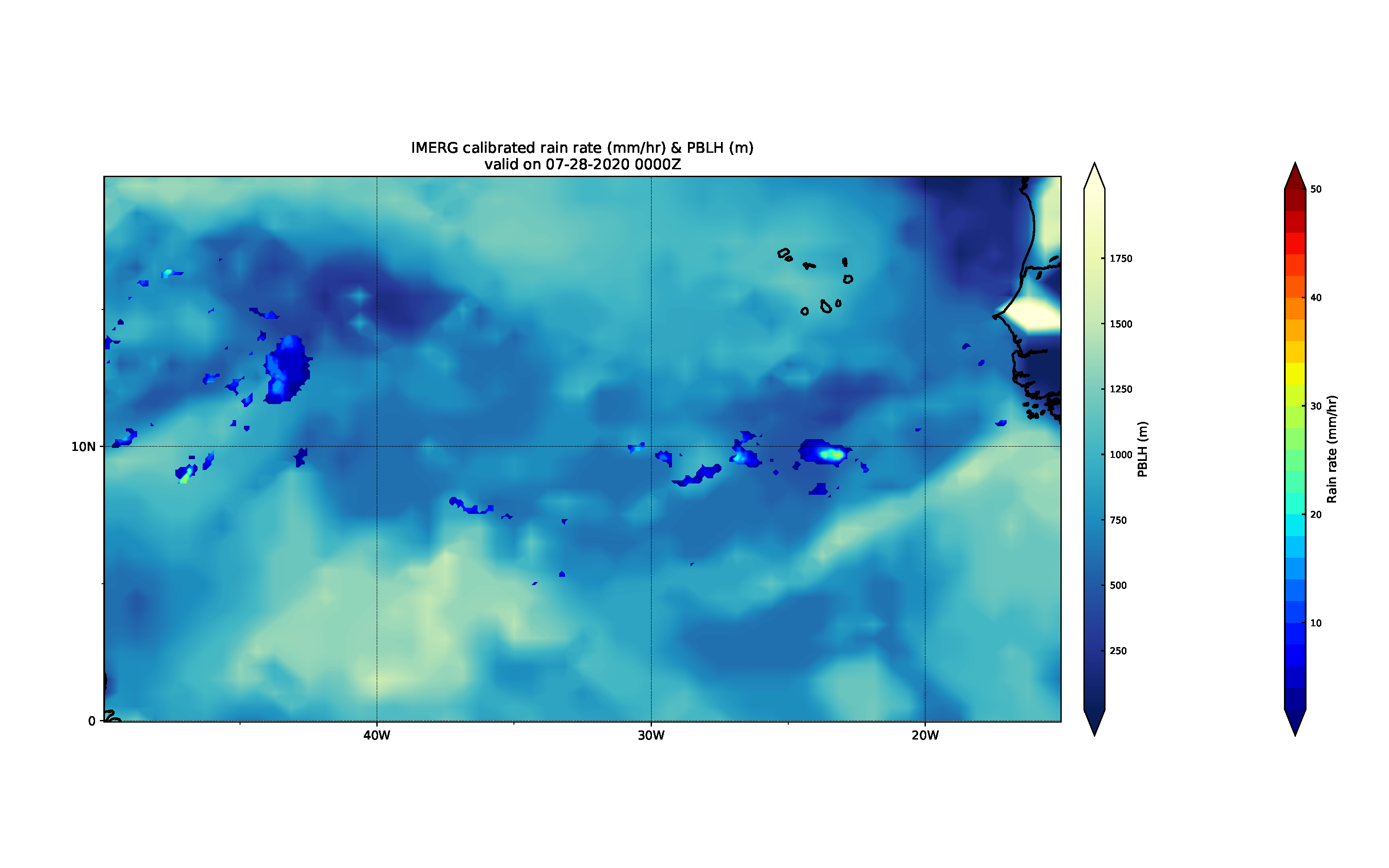
EDIT: I have created a regridded dataset from Nemesi's first methodology (cdo remapcon), and they can be found below. The top image is the regridded data, and the bottom is the original data. Although the number of points in the newly regridded dataset increased from 59,040 to 5,475,600, the image seems to have lower resolution than the original image. The IMERG data also seems to have higher resolution even though both datasets have the same amount of points. Is this due to an error with the data formatting?

