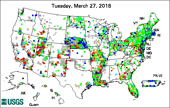
Groundwater data are collected from wells, as described in arkia's answer. I'll amplify on that answer.
The driller or geologist describes the type of sediment encountered when drilling a well. Sometimes sediment samples are collected for analysis of grain size. Core samples aren't typically collected but may be for special studies. The type of sediment encountered during drilling gives a good idea as to whether a productive groundwater aquifer or the most productive zone in an aquifer is encountered. In addition the sediment samples can be used to determine the best type of well-screen to install.
A simple pumping test is usually performed to determine how much water the well will yield and the type of pump to install. This gives basic information on the aquifer (zone of productive groundwater) but sometimes more sophisticated pump tests are performed to determine the aquifer properties.
The USGS or other organization takes this information and geologic maps and maps out the extent of aquifers. Often more than one aquifer is encountered at a particular location and the aquifers are separated by impermeable sediments.
The water level in wells within an aquifer are used to map out groundwater flow directions. Groundwater flow is almost always much slower than surface streams because the groundwater is percolating between the sediment grains. The groundwater level usually changes very slowly, except in some very shallow wells. Daily measurements are usually more than enough and many wells are measured manually less frequently, monthly, quarterly, or yearly, or only now and then. It depends on whether you are interested in seasonal variation or just the general trends.
