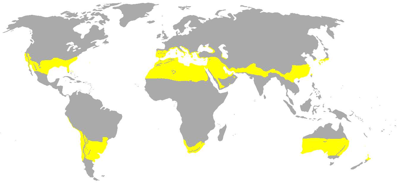
More specifically, I'm trying to work out climate analogues for my farm. It's at 5200-6200ft in South India. My area is a bit too small for the Köppen Map to correctly reveal patterns.
I'll be getting a weather station etc. soon, but it'll take a few months to a year before I have enough data to work with. But right now I have some experimental planting to do, so..
My question is, if you were at around 5800ft in a tropical/subtropical region of India, would the climate then be more like a temperate zone or an alpine climate, but with monsoons?
To put it another way, my question has a general aspect to it too, which is: what happens to a tropical zone as the land increases in elevation? Does it become more "temperate" or "alpine" for all practical purposes? And what "tropical" factors remain in effect (for example, sunlight, I'm guessing)?
If I sound confused about how this stuff works, I would love if someone could direct me to a guide of some kind too!
Further information: It's in the Nilgiri Hills, Tamil Nadu, in a region called Bengal Mattam. There's a small stream that runs through the farm, right at the border, all along the lowest point of our farm/the hillside. The stream then turns sharply and in one kilometer from that turning point, empties into an irregularly shaped reservoir, which is about 669 meters from one end to other, and about 250 on two other extremes. I'm guessing that won't count for much except increase humidity and dew?
