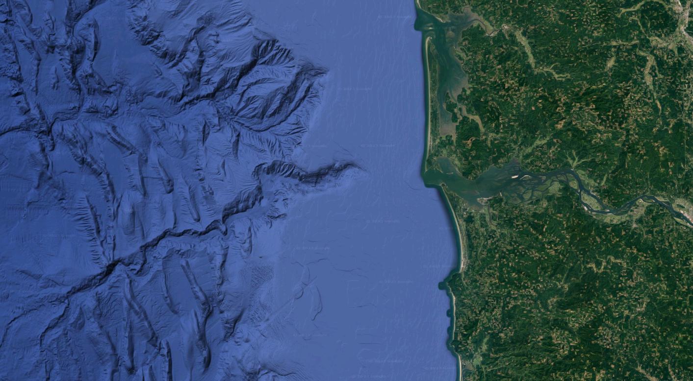
Can it be concluded, based on this picture alone, that the channel was formed when the entirety of it was above sea level? In other words, is that the most plausible known mechanism for the formation of such sub-sea channels?
Not in this case. While some submarine canyons were formed when sea levels were much lower, the Astoria Canyon, which is what you are asking about, is not one of them. Examples of what are now submarine canyons but were carved by rivers when sea levels were lower include submarine canyons in the Mediterranean Sea. The Mediterranean nearly dried out when it was cut off from the Atlantic Ocean about 6 million years ago. This resulted in rivers such as the Nile cutting long canyons that were later submerged.
What about the Astoria Canyon?

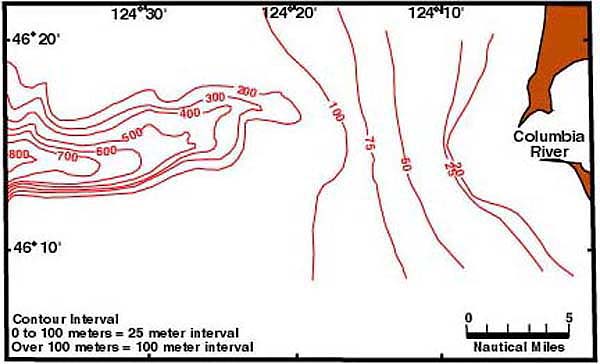
Image source: https://oceanexplorer.noaa.gov/explorations/lewis_clark01/background/geology/geology.html
As seen in the above counter plot, the Astoria Canyon starts at about 200 meters below sea level, at the end of the continental shelf, and carries on to the bottom of the continental rise. Sea levels fell by about 125 meters at the peak of the last glaciation, so it wasn't a river carving a canyon in land that was above sea level at the time. This does not mean that the Columbia River did not play a role in the formation of the Astoria Canyon.
One of the leading hypothesized formation mechanisms of the Astoria Canyon is the huge amounts of sediment deposited by the Colorado River from the multiple Missoula Floods that resulted from the breaching of ice dams that formed massive glacial lakes in western Montana during the latest glaciation (and possibly during previous glaciations). These floods scoured eastern Washington, creating the Channeled Scablands. Those sediments were then deposited past the mouth of the Columbia River. Turbidity currents carrying those sediments then scoured their way down the steep continental rise -- but not the much flatter continental shelf.

