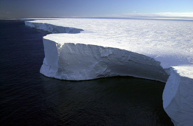
I have seen news reports saying that in recent years many more scientists think that humans first arrived in the Americas by boat, along coast of Alaska and Canada (before they were able to come through the Bering Strait land route). They would have done this ocean journey during the last ice age. Would this coast have been an ice cliff at that time? If so, such a long journey along such a coast must have been quite difficult. In other words, would early humans have had to follow along a coast that looked something like this picture below? Thank you in advance for any thoughts you can share on this.
-
2$\begingroup$ I think you can't speak of one single journey. This probably was rather a matter of generations and centuries, maybe even millenia. Some tribes ventured along the coast in Eastern Russia, found some place to settle, it got crowded, some of them ventured further east, maybe only for the summer, etc, pp. (Source: My own logic understanding of how humanity spread). $\endgroup$– ErikCommented Jun 15, 2021 at 7:23
3 Answers
There is no pacific coast to the The Laurentide Ice Sheet, you are thinking of the Cordilleran Ice Sheet.
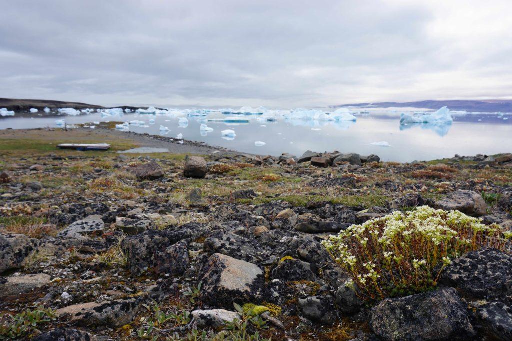
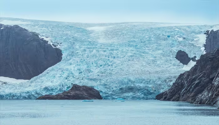
You are making a mistake in thinking the ice wall would be continuous. At its maximum it would look like that, but 25,000 years ago it was under retreat and would have been large patches of normal coastline with a few interspaced glaciers. It extended back out to the ocean later around 13,000 years ago.
What would it look like when humans crossed it, sections like picture A and sections like picture B.
https://faculty.washington.edu/dbooth/Ch_02_INQUA_volume.pdf
West of the Continental Divide it is the Cordilleran ice sheet.
I think the blue line here would have been ice shelves where it is in deep water. It also shows some ice-free land (note, sea level was 125 m lower).
The West coast of Greenland facing onto the Davis Straight would probably be your best approximation today. Note that although there are extensive glaciers reaching the sea, the Eskimos can move around in the area with a degree of facility, living mostly on marine resources. Don't forget that at glacial maximum, sea level was around 100m lower, so you'd need to adjust your mapping/ modelling to that different sea level.

