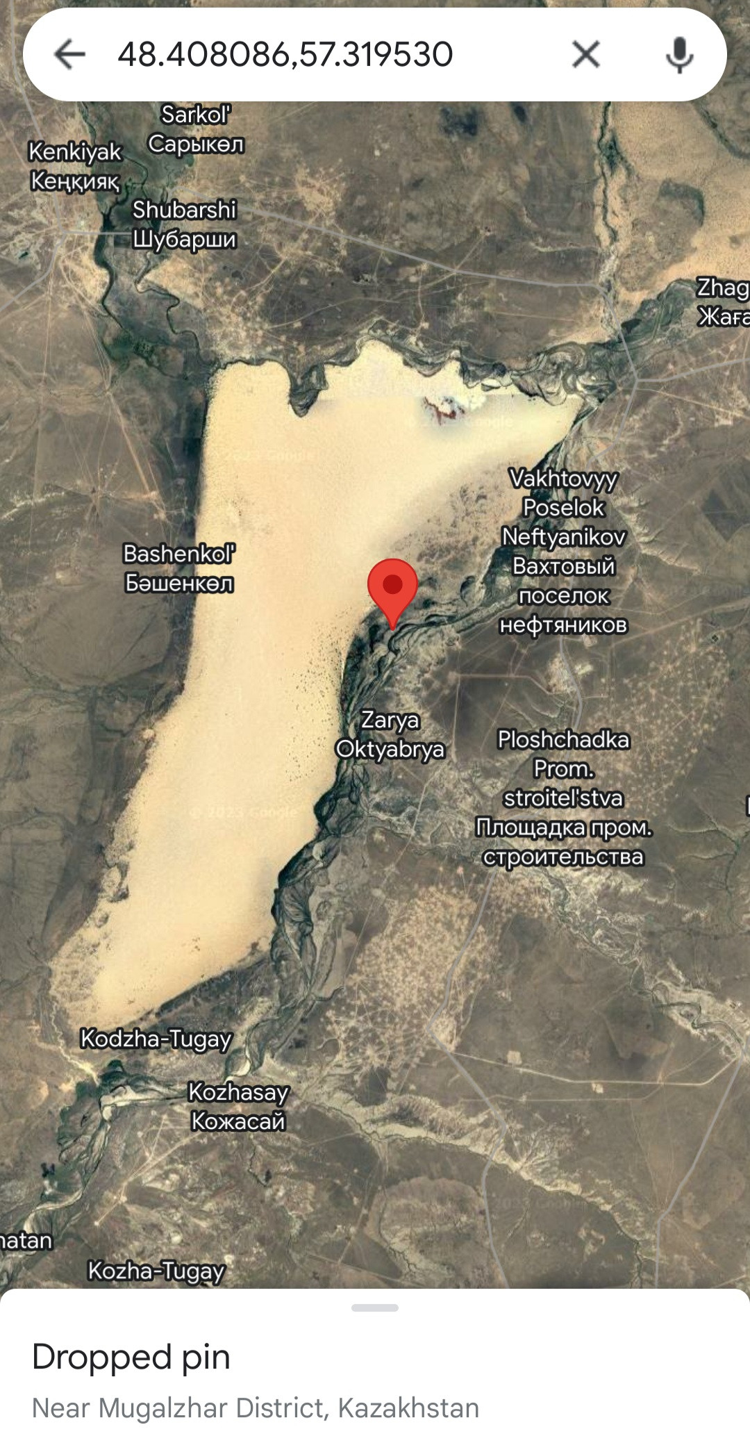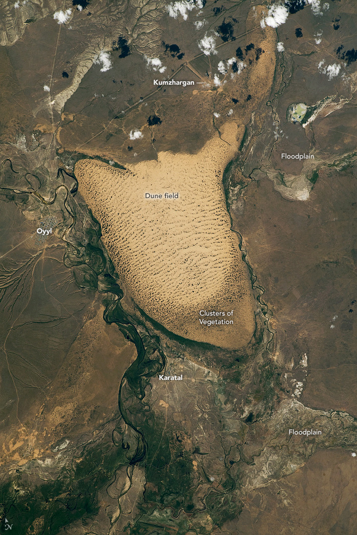
These look like dried up lake beds or places where a river over flowed its banks. Look along the edges of the area for details like old river beds, deltas or straight edges like a man made dam or even irrigation systems for farms. These edges look natural. If you look at the top of the first image, you can see to the far left and the far right that there is a river system connected to it. There are oxbows on the upper edge close to the right inlet. This is where the river folded back on itself creating a loop or a horseshoe shape. It's possible its a dry lake bed. A Google search on largest cities or towns may tell you more. Wiki may give place names for lakes or rivers for further searches.
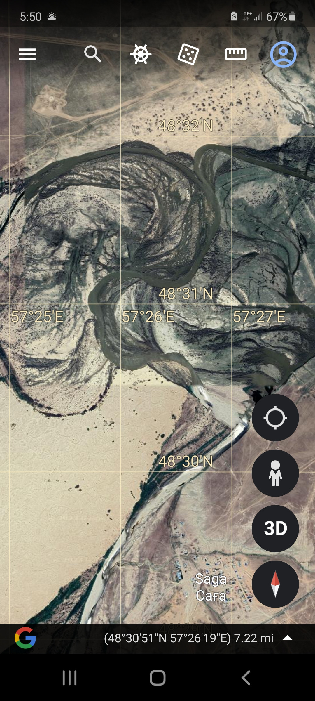
My Image 1 oxbow at location of question.
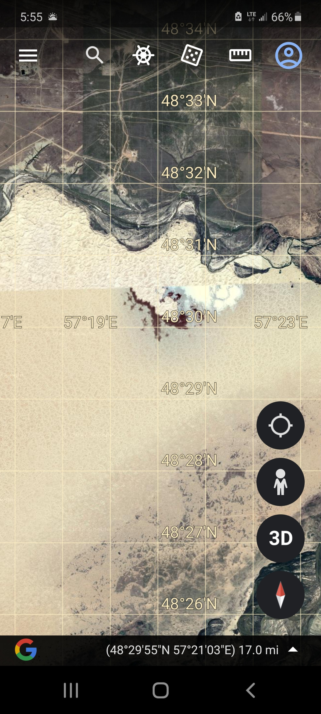
My Image 2 color change due to detail change on zoom. Notice you start to see the shape of the dunes at the top? Its a lighter color and more detailed because that portion is zoomed in. The lower portion of the image is zoomed farther out and has a different color.
In the second image you posted, you can see the same thing on the right of the dune area. The oxbow.
Sometimes when you zoom in on Google earth the image will change color naturally due to distance (image 2 that I posted).
Other times I've seen the same thing and tend to think that it was the time of day when the satellite passed over and took the images. It will look brighter like the sun is directly behind the satellite as opposed to sunrise or sunset. This may not be so.
Other times its a distortion in the imaging process, computers or communication issue with the satellite. Maybe like the recent aurora borealis affect. Those can disrupt satellite communications that could potentially cause an image to not fully send from satellite or receive on earth.
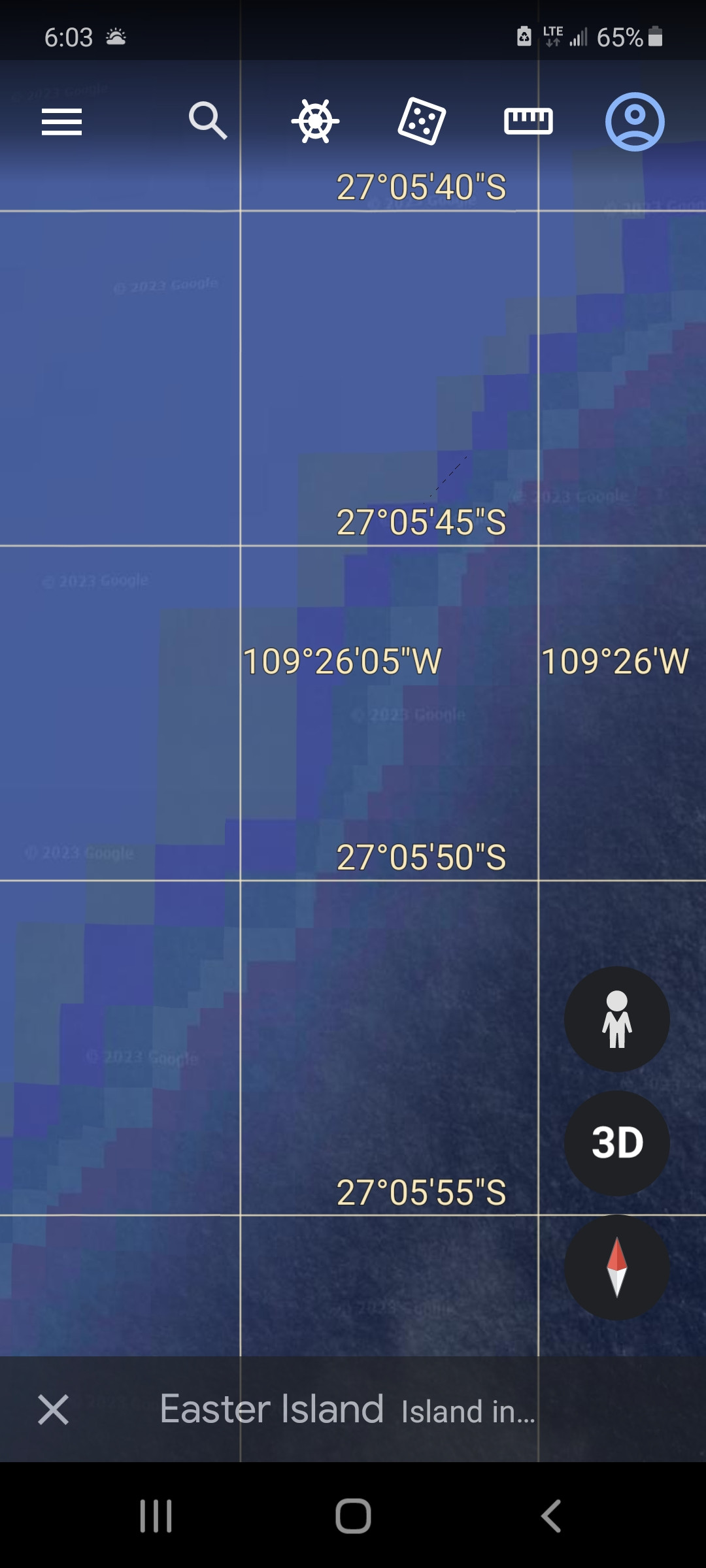
I've seen pixelated images that make you think its under surface archeology or something because its very squared off. (Third image I've posted.) You can see the blocky chunks. This is usually at the edge of a satellite image like this one off of Easter Island. On all the ocean edges I've looked at, its like this. The detail only goes out to a certain point. The ocean floor detail is from bathemtry research by science and military.
Have fun Google earth searching, I certainly do!
