Complete newbie to any earth sciences here. Please tell me if this is the wrong stack exchange website
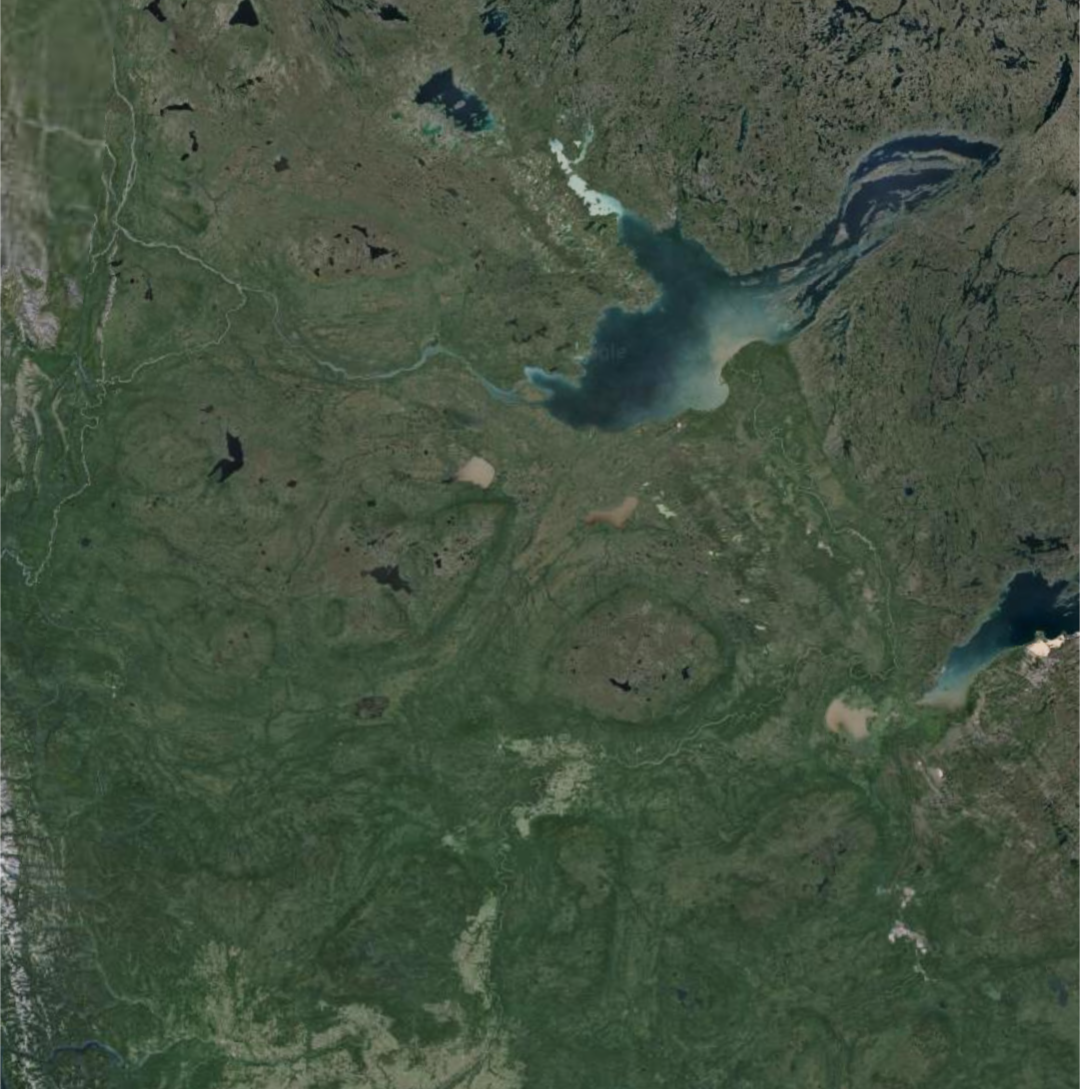
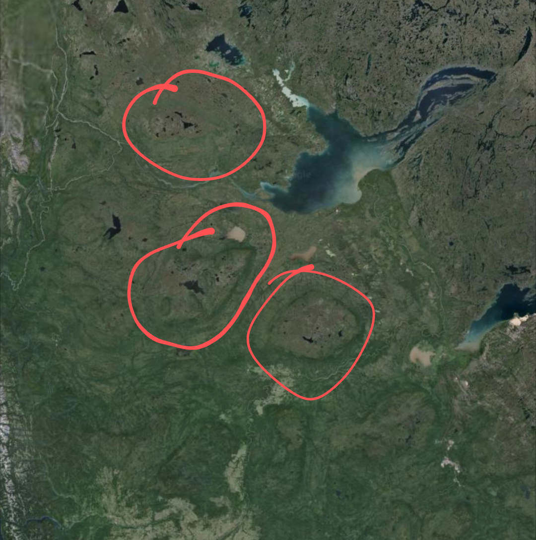
I was browsing around on google earth (as one does), and I noticed these "discoloured" regions in upper Canada.
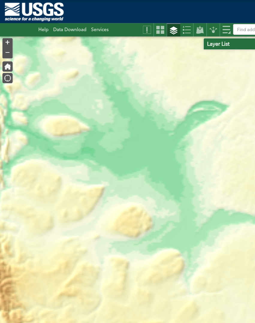
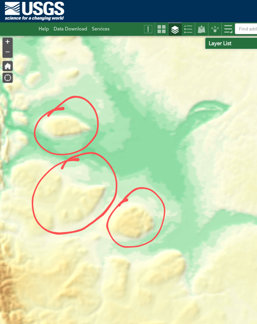
I checked on a topographical map, and saw that they were higher up than the land surrounding them too.
What are these land forms, and what could have created them?
Note: For anyone looking for a good online topographical map, go here, click the layers icon on the top bar, and enable 'elevation tinted hillshade'.


